

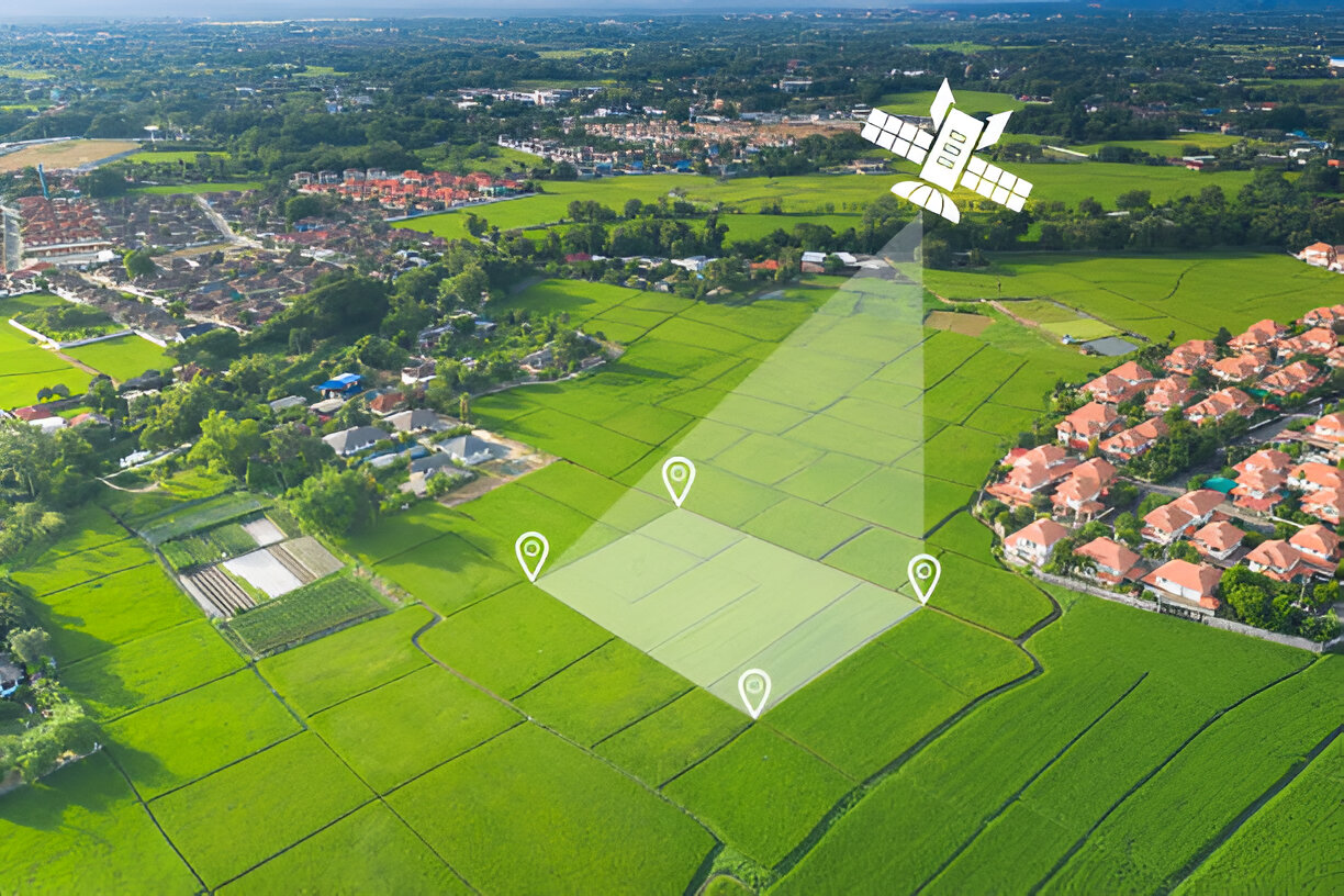
Modern farming is not only about sowing seeds and praying to get good harvest, but it is about optimizing the output, making the most of the available resources and fulfilling environmental requirements. Today, the farms are relying heavily on technology as the demands increase, and the unpredictability caused by the extreme weather of the climate pulls the rug out of their feet. Satellite and aerial imagery? That’s quickly become the silent powerhouse behind smarter, more profitable operations.
Here’s why: satellites provide high-resolution views of crop fields, soil health, and land use patterns. These are not just pretty satellite imagery from the orbit but it is actionable intelligence. Companies like OnGeo Intelligence are turning what used to be raw, technical data into tailored insights that help agribusinesses make sharper decisions.
Precision Farming Made Practical
Let’s talk precision agriculture—the real-world version, not just a buzzword. Satellites let you stop wasting inputs by treating each part of a field based on what it actually needs. You see a patch with low moisture? Direct irrigation there. Spot disease in a corner? Target your resources. That means lower input costs and, more importantly, higher yield quality.
Once the stress appears in the crops, it will be detected by the experts using those advanced multispectral and hyperspectral images far before the naked eye can notice it. The crop-health monitoring provides a real-time feed on the state of crops using tools such as NDVI so that early intervention can be experienced to maintain performance.
Forecasting Yields, Mitigating Risks
Guesswork is out. With time-series satellite imagery, you can anticipate yields based on how crops develop through the season. That’s huge for logistics, securing sales, and making financial moves ahead of time.
And because you can early detect problems like pests or drought, there is no longer the need to perform ground survey or wait to take emergency preventative measures. The countrywide coverage is available at a minimal price.
Sustainable Resources Management
It turns out that sustainability is not just a good PR, but also a necessity. Satellite information is used to enable the ag businesses to optimize the usage of water, chemicals, and land. As an example, evapotranspiration map can guarantee that you are not losing water in an area that does not require it. No more running of chemicals or a lighter environmental impact, variable-rate application is both regulatory and consumer friendly.
Integrated Tech
When connected with the images coming out of satellites, paired with on-the-ground measuring devices and IoT devices, you open the most accurate picture of each field. All the inputs are in form of data on soil pH, soil moisture, soil temperature they all go into a central dashboard. Machine learning and AI determine the flow and then make real-time recommendations depending on the field. It can be wiser scale-based decision-making without wearing out the overhead.
The Bottom Line
Aerial and satellite imagery is not only an optional accessory to present competitive farming it is the beating heart of such agriculture. All these are achievable when you get to enhance productivity, minimize waste, and enhance sustainability. It has become much more technology-friendly and in case you are not utilizing it you are losing water as well as money. This is the future of farming – data-driven, accurate, and designed so that it can comply with the requirements of the changing world.